History, geography and science
Filters
{{ keyword }}
-{{ keyword }}
{{ selectedFilter.label }}
77 products
Sort by:


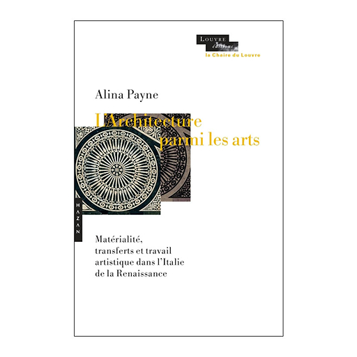
L'architecture parmi les arts - Matérialité, transferts et travail artistique dans l'Italie de la Renaissance
Add to cart
MX616650
- € 25
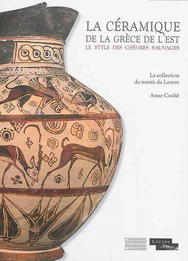
La céramique de la Grèce de l'est - Le style des chèvres sauvages : La collection du musée du Louvre
Add to cart
MX601827
- € 44