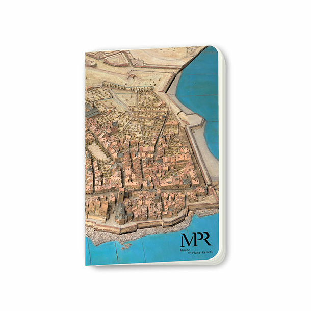
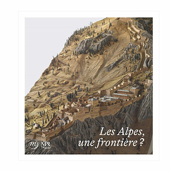
Relief map of Antibes
Made under the direction of Nicolas de Nézot, engineer, 1754. Plan at a scale of 1/600
Wood, paper, silk, metal, paint. H. 477; l. 355 cm
Paris, musée des Plans-reliefs - © Photo Rmn-Grand Palais / Adrien Didierjean
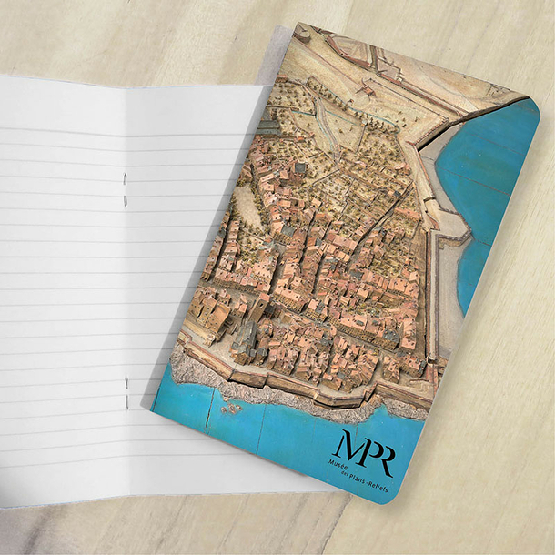
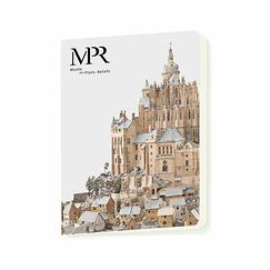
Small notebook 10 x 16 cm - 56 pages
Printed in France in compliance ...
Read more
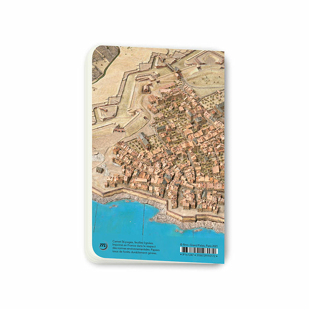
Relief map of Antibes
Made under the direction of Nicolas de Nézot, engineer, 1754. Plan at a scale of 1/600
Wood, paper, silk, metal, paint. H. 477; l. 355 cm
Paris, musée des Plans-reliefs - © Photo Rmn-Grand Palais / Adrien Didierjean
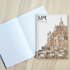
Small notebook 10 x 16 cm - 56 pages
Printed in France in compliance with environmental standards. Paper from sustainably managed forests.
© Rmn - Grand Palais, Paris 2021
Close