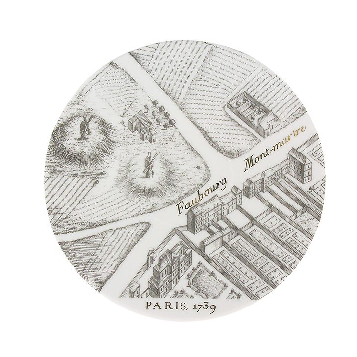
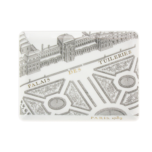
The "Turgot Map of Paris" was crafted between 1734 and 1739, after Michel Étienne Turgot requested Louis Bretez to draw up a plan of the capital city and its suburbs.
Bretez, a member of the Royal Academy of Painting and Sculpture and a teacher of perspective, opted for a system of "false perspective...
Read more
The "Turgot Map of Paris" was crafted between 1734 and 1739, after Michel Étienne Turgot requested Louis Bretez to draw up a plan of the capital city and its suburbs.
Bretez, a member of the Royal Academy of Painting and Sculpture and a teacher of perspective, opted for a system of "false perspective, without viewpoint and without vanishing point." His contract specified that the reproduction had to be highly accurate and faithful.
He strode along the streets of Paris equipped with a warrant, which authorised him to enter private mansions, residential homes and private gardens. According to his contract, the cartographer was to depict churches, buildings, fountains, squares, public monuments and private town houses in elevation.
The plan was produced on a 1/400 scale and measured 2.5 metres high by 3.2 metres wide.
Once the plan was drawn, Claude Lucas, an engraver at the Royal Academy of Sciences, was asked to etch and chisel the 21 sheets of the "Plan de Turgot", which included one index sheet.
The plan was published in 1739 and the first copies, bound in volumes, were presented to the king, the members of the Academy, the municipality and French representatives abroad.
Close


