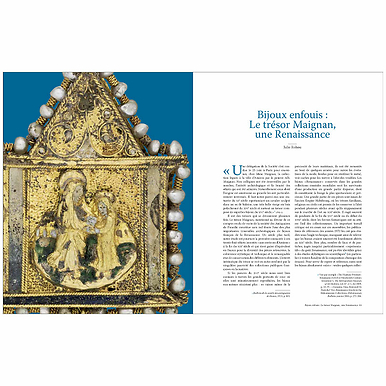
Books
Filters
{{ keyword }}
-{{ keyword }}
{{ selectedFilter.label }}
492 products
Sort by:
-
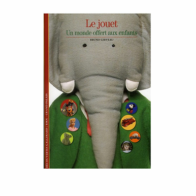
 History, geography and science
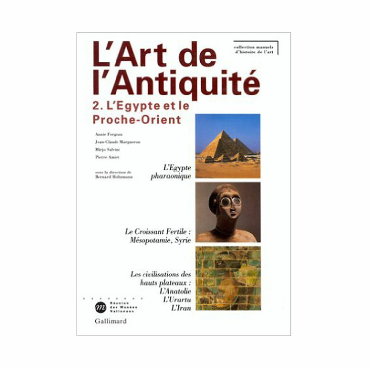
Art of antiquity - Volume 2: Egypt and the Middle East
GC003396Add to cart- Current price€ 44.90


Books
The GrandPalaisRmn publishes each year many media in order to promote the learning of culture, one of its most obvious missions. The book collection includes exhibition catalogs developed with its partners around the actual expositions but also a wide range of museum guides and fine books. The choice offered in its online library makes our organization, the leading art publisher in France and a key player in the cultural field.