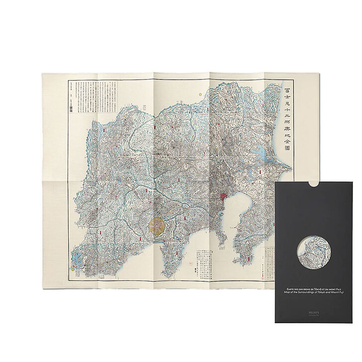
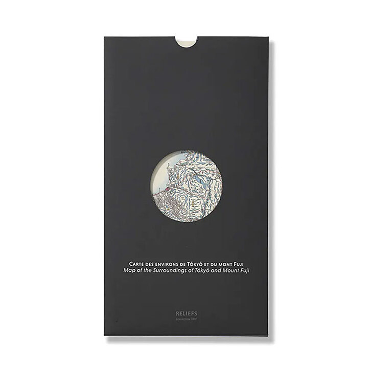
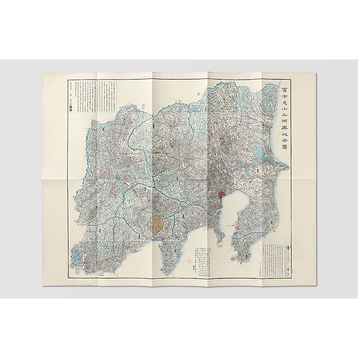
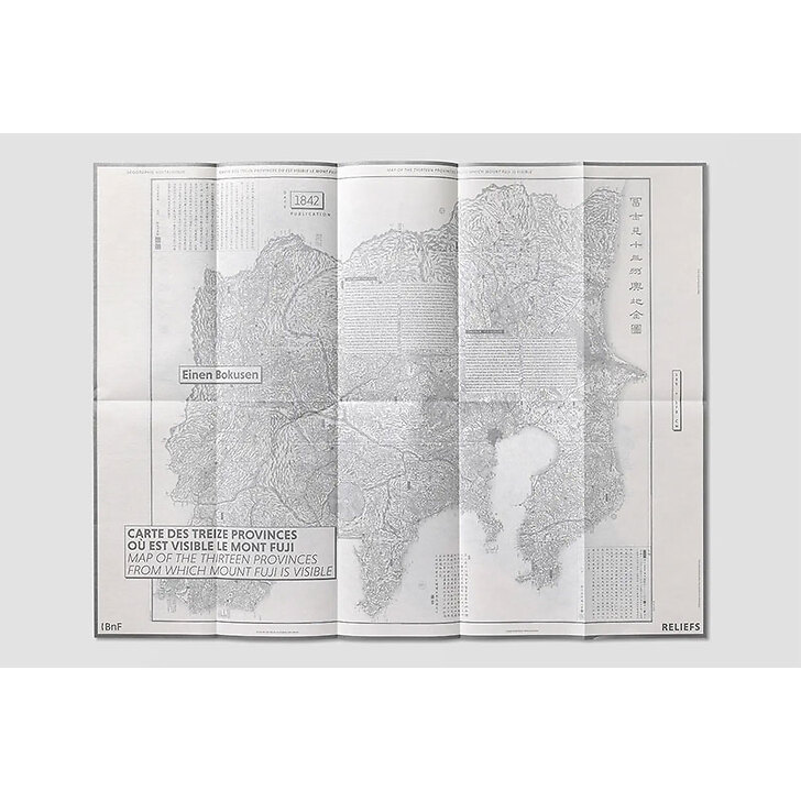
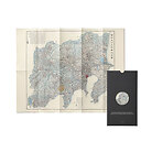
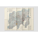
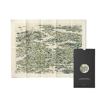
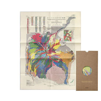
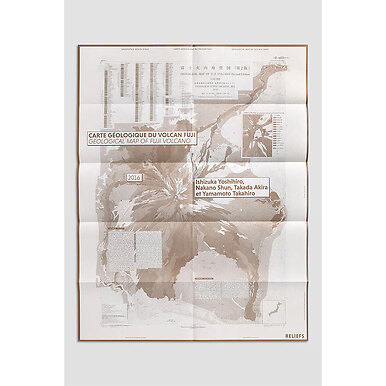
Map of the surroundings of Tōkyō and Mount Fuji
MX038616
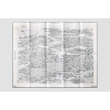
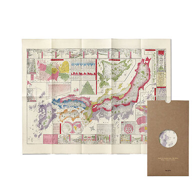
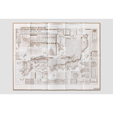
This spectacular « Map of the Thirteen Provinces in which Mount Fuji Is Visible », teeming with geographical and topographical details, is one of the most famous maps of the late Edo period (1600-1868). Its original blend of traditional representations and then-recently invented cartographic techniques...
Read more
This spectacular « Map of the Thirteen Provinces in which Mount Fuji Is Visible », teeming with geographical and topographical details, is one of the most famous maps of the late Edo period (1600-1868). Its original blend of traditional representations and then-recently invented cartographic techniques ensured its success continued throughout the men ! Era (1868-1912), inaugurated at the same time as the new name for Edo, Tōkyō (« Eastern capital »).
Map
Folded format : 18,2 x 33,5 cm
Format unfolded : 85 x 65 cm
A map on the front, its story on the reverse
Bilingual French / English
Co-publishing Reliefs éditions with the BnF
Close
Sold by GrandPalaisRmn