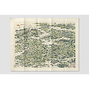
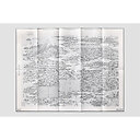
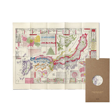
Map - The Famous Places on the Tōkaidō
MX038617
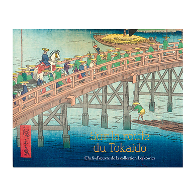
The Tōkaidō (« East Sea Road ») is one of the five major routes (« gokaidō ») of the Tokugawa shogunate (1603-1868) which linked the administrative capital Edo (Tōkyō) to the imperial capital Kyōto. The 500 km long route from east to west, which dates back to the 11th century, is dotted here with a myriad...
Read more
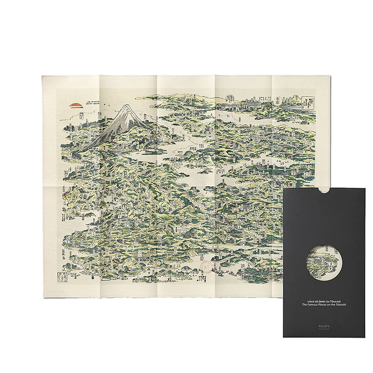
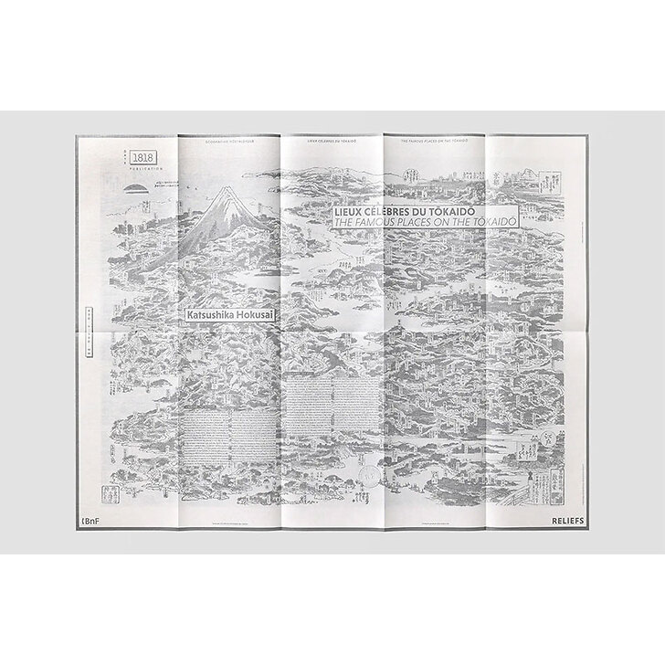
The Tōkaidō (« East Sea Road ») is one of the five major routes (« gokaidō ») of the Tokugawa shogunate (1603-1868) which linked the administrative capital Edo (Tōkyō) to the imperial capital Kyōto. The 500 km long route from east to west, which dates back to the 11th century, is dotted here with a myriad of « meisho » (« famous places ») far exceeding in number and scope the official « 53 stations of the Tōkaidō road », later immortalized by Utagawa Hiroshige (1797-1858), where duly vetted travellers rested and replenished for their journey. Today, the Tōkaidō Shinkansen high-speed train covers the route at 285 km/h in just over two hours.
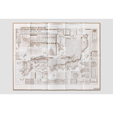
Map
Folded format : 18,2 x 33,5 cm
Format unfolded : 85 x 65 cm
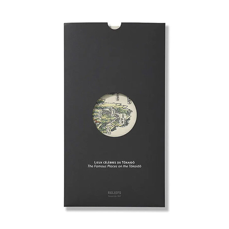
A map on the front, its story on the reverse
Bilingual French / English
Co-publishing Reliefs éditions with the BnF
Close
Sold by GrandPalaisRmn